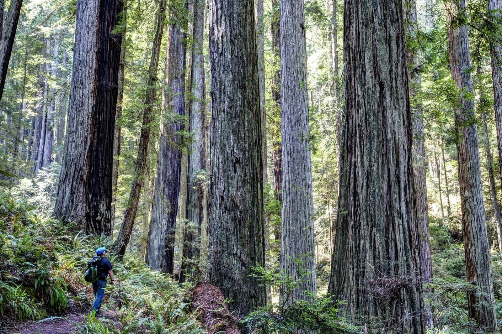
Portola Redwoods Trail Map
The official Portola Redwoods trail map is printed in the California State Parks park brochure, a free PDF on the park's page at parks.ca.gov, with a separate campground map. It shows 18 miles of trails in a forested basin: the Sequoia Nature Trail and Old Tree Trail near park headquarters, the Slate Creek, Iverson, Bear Creek and Peters Creek trails, and the Old Haul Road out to Pescadero Creek County Park. Download it before you drive up; there is no cell reception in the park.
Trail Distances (State Parks Brochure)
Where to Get the Map
- Park brochure (PDF): includes the full trail map. Linked from the official park page.
- Campground map (PDF): site numbers for the family campground, also on the park page.
- Interactive map: State Parks links an online map of the park from the same page.
- At the park: ask at the visitor center, open 9 a.m. to 5 p.m. daily.
Save the PDFs to your phone at home. Once you drop off Skyline Boulevard, you lose signal.
Trails on the Map
State Parks gives distances for only some trails. These are its figures:
- Sequoia Nature Trail: ¾ mile, easy, near park headquarters, crossing Pescadero Creek
- Old Tree Trail: ½ mile, easy
- Slate Creek Trail: 3 miles, moderate, to the Page Mill site; Slate Creek Trail Camp is about 2.5 miles in
- Bear Creek Trail to Peters Creek Trail: 13 miles round trip, strenuous, with a 1.3-mile loop through the old-growth Peters Creek Grove
- Old Haul Road: a service road, 10 miles round trip to Memorial County Park, open to hikers, bikes and horses
The map also names the Iverson Trail and the site of Christian Iverson's 1860s cabin, the trail to Tiptoe Falls on Fall Creek, and the Upper and Lower Escape Roads, where leashed dogs are allowed. No official mileage is published for these, so none is given here.
What the Legend Shows
The map marks paved roads, unpaved fire and service roads, hiking-only trails and multi-use trails open to hikers, bikes and horses, plus locked gates, parking, restrooms and showers, campgrounds (family, group, hike-and-bike and primitive), the campfire center, the visitor center and ranger station, waterfalls and viewpoints.
Look for two notes that matter on the trail: seasonal bridges, open May 15 to October 15, and areas marked private property or no public access around the edges of the park. Stay on mapped trails.
Neighbours on the Map
Portola's trails join land run by other agencies. To the west is Pescadero Creek County Park, reached by the Old Haul Road, with Memorial County Park beyond it. Up the ridge to the east are the Skyline Ridge and Long Ridge open space preserves. Each has its own rules: dogs, bikes and horses are treated differently in each.
Which Trail Should You Pick?
- With small kids or a stroller-age group: the accessible 0.18-mile section of the Sequoia Nature Trail, to a creek overlook with a bench.
- One to two hours: Sequoia Nature Trail plus Old Tree Trail.
- Half a day: Slate Creek Trail toward the Page Mill site.
- A full day: the Peters Creek Grove round trip.
- On a bike: the Old Haul Road, the only route in the park open to bicycles besides paved roads.
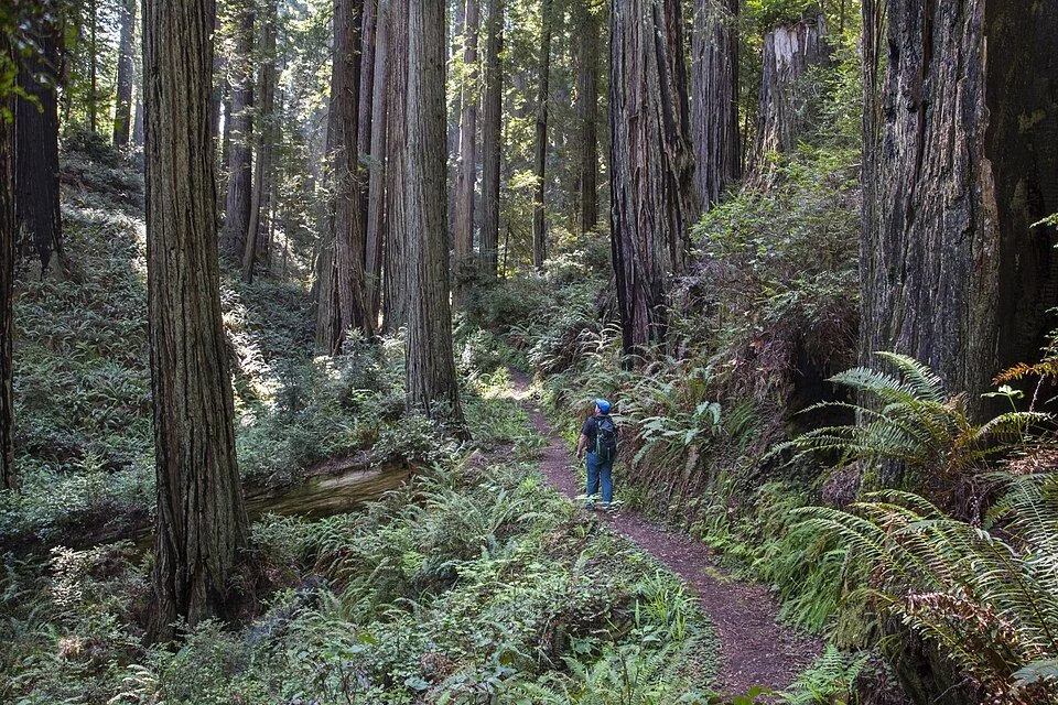
Portola Redwoods Trail Map FAQ
Where can I get a Portola Redwoods trail map?
Download the free park brochure PDF from the official park page at parks.ca.gov; it includes the trail map. The visitor center also has information.
How many miles of trails does Portola Redwoods have?
18 miles of hiking trails, ranging from easy to strenuous.
Are the bridges at Portola Redwoods open all year?
No. The State Parks map marks seasonal bridges that are open from May 15 to October 15.
Does Portola Redwoods connect to other parks?
Yes. The Old Haul Road runs through Pescadero Creek County Park to Memorial County Park, and the park borders open space preserves on the ridge.